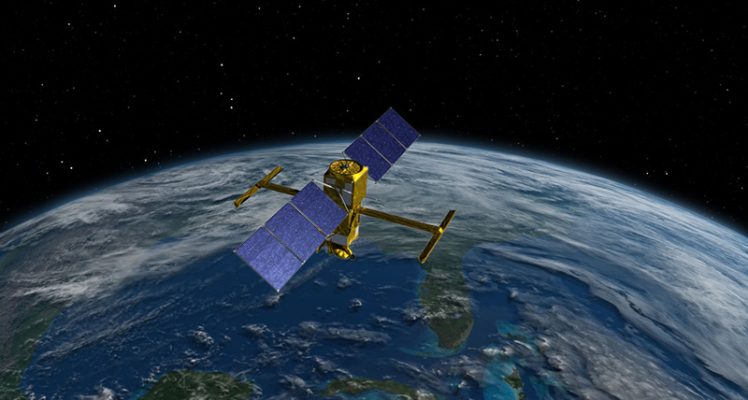
Successful Launch of Sentinel-6B, a New Milestone for Satellite Altimetry
We are pleased to announce the successful launch of the Sentinel-6B satellite altimetry mission, marking a major step forward for satellite altimetry, ocean observation, and global climate...
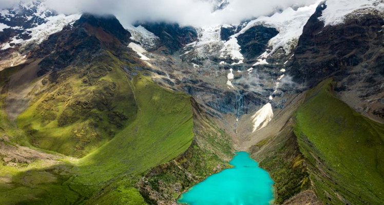
Turning Water Risk into Resilience in Peru with Satellite Technology
From drought-stressed highlands to flood-ravaged coasts, Peru’s relationship with water is one of extremes. In the Andes, mining and agriculture are challenged by scarcity. In the north, regions...
Innovating for the Planet: AI and Water Management with Jérémy Augot, Data Scientist at CLS
Climate change is intensifying global water stress, making the management of our water resources more critical than ever. At the forefront of this challenge, CLS and its experts in data science and...
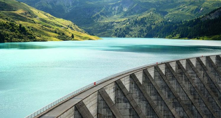
CLS’ Water Platform: Digitizing Water Resilience
With water scarcity affecting more than 40% of the global population according to The World Bank, managing water resources effectively is no longer strategic, but necessary. A trailblazer in Earth...
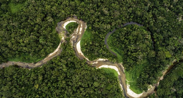
Unlocking Amazon’s Secrets: CLS at the Forefront of Discovery
The Amazon is a gigantic river, the most powerful in the world. It’s responsible for 20% of the freshwater running into the ocean and is the largest contributor of fluvial sediments into the oceans....
SWOT: Count-down to launch
For nearly a decade engineers at the French Space Agency, NASA, the Canadian Space Agency and the UK Space Agency have been designing and building a satellite set to be a game-changer for hydrology...
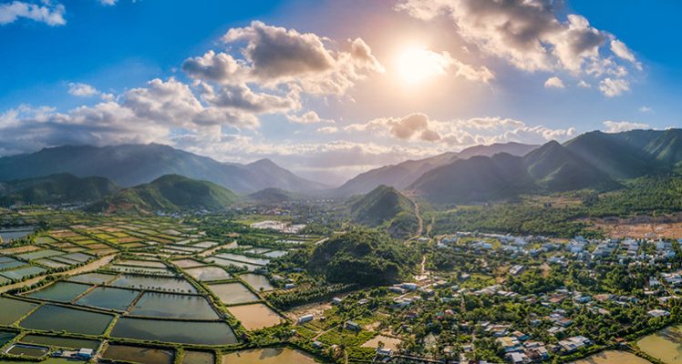
NAGIS Project in Vietnam
With the Directorate of Fisheries of the Ministry of Agriculture and Rural Development of Vietnam, CLS is performing a feasibility study “NAGIS-FASEP” (National Aquaculture Geographic Information...
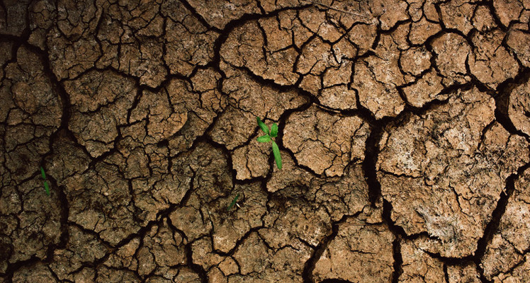
World Water Day: The solution will come from the skies
Falls run dry We all recall the terrible images released at the end of 2019, showing the Victoria Falls almost dry. Such images bear witness to the persistent drought in recent years in some areas,...
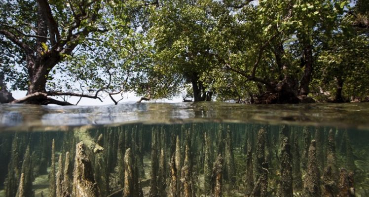
Integrated Coastal Zone Management (ICZM) and Mangrove Monitoring
Several years agos, CLS delivered to the Indonesian government INDESO a complete center for sustainably manage indonesian marine resources and coastal natural richness. In this context one of the...

Digital Twin Ocean: Identifying Marine Heatwaves with Artificial Intelligence
“Analyzing oceanographic data on a massive scale with Artificial Intelligence will be part of the solution to mitigate the impact of Marine Heatwaves” Fabien Lefevre, Manager of the Ocean and...
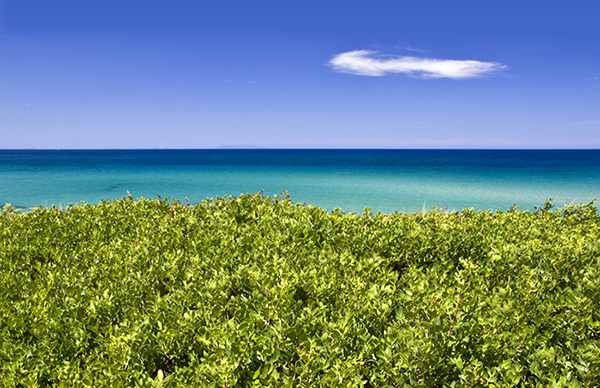
Mangroves: natural barrier against rising waters
Today, the world is facing a growing freshwater crisis that is threatening people and the planet. Wetlands are the ecosystem that water and all life depend on the most and it is currently being...
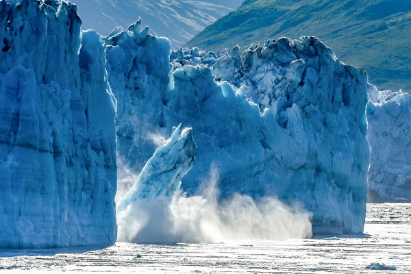
Mean sea level: a key indicator of global warming established in Toulouse
Understanding climate mechanisms means first of all understanding the ocean. But how can we learn more about this immense maritime territory? Over the last 30 years, observation systems for the...