← Back
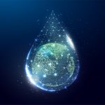
Digital Twin Ocean: Identifying Marine Heatwaves with Artificial Intelligence

“Analyzing oceanographic data on a massive scale with Artificial Intelligence will be part of the solution to mitigate the impact of Marine Heatwaves”
Fabien Lefevre, Manager of the Ocean and Climate division at CLS
Marine Heatwaves can have significant impacts that are potentially devastating to marine ecosystems and cause industrial economic losses in fisheries, aquaculture and ecotourism.
How can we predict them and mitigate their impacts?
CLS is participating in a project combining Artificial Intelligence with ocean data that can provide the answer and contribute to creating a Digital Twin of the Ocean: a key tool to make our Ocean sustainable.
ESA has recently chosen CLS to be part of a consortium to develop a Digital Twin Ocean Precursor (DTOP).
Funded by ESA (European Space Agency), the project will be led by IFREMER along with our other partners NERSC, Mercator Ocean International, TAS, LOBELIA and COLAB+ Atlantic and focus on two aspects, one of which is the ocean-atmosphere interactions in the western Mediterranean Sea during Marine Heatwave events.
This revolutionary project will lead to the creation of a digital twin of the ocean and simulate specific phenomenon such as Marine Heatwaves and transform data into knowledge by enabling citizens, governments and industries to make informed decisions.
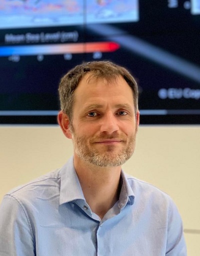 Fabien Lefèvre, Manager of the Ocean and Climate division at CLS, provides us with more insight
Fabien Lefèvre, Oceanographer by trade, has worked for over 20 years on or with Altimetry data. After working for over 10 years purely on the data, he transitioned into developing the data into solutions.
For a year he has been the head of the Ocean and Climate division at CLS. A team of international experts comprised of engineers, doctors and scientists.
First, can you explain what a Marine Heatwave is?
A Marine Heatwave (MHW) is a period of abnormally high temperatures in a sea or ocean. They have severe impacts on biodiversity and can increase habitat degradation such as coral bleaching. They have also led to changes in animal behavior and mass mortalities of species which in turn creates economic pressures on the fishing and aquaculture industries.
Our aim with this project, is to develop a Digital Twin of the Ocean and in this case, with our partners Mercator Ocean International & IFREMER, analyze data to try to identify MWHs and potentially simulate future ones with numerical models.
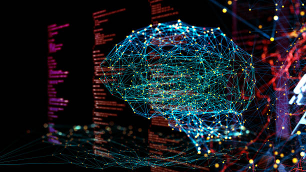
What role will AI play?
It’s important to remember that Artificial Intelligence doesn’t invent things, it allows us to analyze huge amounts of data.
Marine Heatwaves are far too complex to model with physics equations. So, rather than model them using mathematical equations, we’re going to analyze the data on a massive scale with Artificial Intelligence and try to identify them. Once identified, we’ll try to find the correlations that will allow us to see them in other datasets or even simulate them in the future.

What is a Digital Twin of the Ocean and why do we need one?
A Digital Twin is a virtual representation of a physical object, in this case the Ocean, across its lifecycle by using and analyzing data. It can be used for monitoring, diagnostics and prognostics.
To create the Digital Twin of the Ocean (DTO) we will analyze in-situ and satellite Earth observation data by using Artificial Intelligence to create high-resolution models of the Ocean.
By creating a DTO, we will be able to continuously monitor the Ocean in a timely manner and develop what-if scenarios or analyze impacts of preventive measures.
Monitoring Marine Heatwaves is part of the first step to achieving this goal.
How will CLS be involved in the project?
CLS will provide in-situ and satellite data and analyze them with Artificial Intelligence and specific algorithms.
 To create a DTO a huge amount of past data is needed but it also requires integrating new data. At CLS we have the required experience and teams dedicated to data analysis.
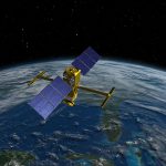
As a world leader in altimetry, CLS has almost 30 years of experience in collecting, processing, calibrating, validating and sharing Altimetry data (Sea Level, Wind, Waves). A variety of solutions have already been developed with this experience using multiple missions and sensors that provide key information to administrations and the scientific community, a recent example being iceberg detection during the Vendée Globe race.
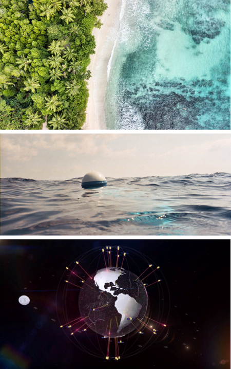
CLS has also been contributing to, as well as leading, major international oceanography programs, projects and networks such as Argo, Global Ocean Observing System, EuroSea, MELOA, TRUSTED, Earthscope Oceans (ESO) and DBCP by providing Argos & Iridium satellite telemetry to collect in-situ data and applying our know-how to validate and calibrate in-situ measurements. And, with the arrival of our subsidiary Kineis, more in-situ data can be collected thanks to a constellation of 25 nanosatellites that will provide connectivity to more than 2 million objects with near real-time revisits.
Finally, how will this help administrations and the general public?
A DTO will allow governments and administrations to implement preventive measures to mitigate climate risks efficiently and effectively as well as have a concrete estimation of the economic impacts of future Marine Heatwaves on fisheries, aquaculture and ecotourism.
On a general scale, it will raise awareness and show that everyone can be involved in helping the planet. Eventually, everyone will be able to calculate our individual impact or “footprint” on the environment.