
Sustainable Water Resource Management
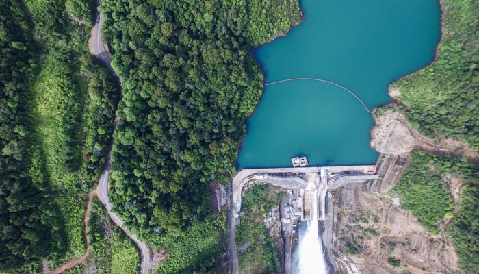
Data at the Heart of Sustainable Water Management
Since the 1990s, CLS has been measuring the height of oceans, lakes, and rivers. With 30 years of Earth observation expertise, CLS is committed to sustainable water management.
The evolution and accessibility of satellite-based solutions now make it possible to identify water stocks (volumes in dams, snow quantities, river flow, water quality, etc.) and monitor their status in near real time.
Every day, CLS produces, aggregates, distributes, and archives massive volumes of data on water and aquatic environments.



- Identifying and Mapping Water Reserves
- Anticipating Water Resources
- Building and Operating Complex Information Systems
- Defining Indicators and Facilitating Collaboration
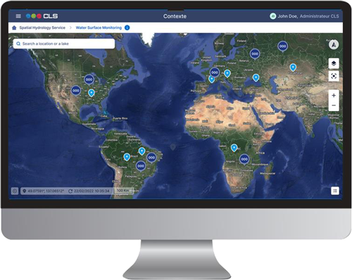
CLS Water Platform: Water resource management tool

Featured Projects

Multiple
Research Programs
From fundamental to applied research, CLS dedicates significant resources to R&D in space hydrology.
CLS is fully engaged in several aspects of the European Copernicus program, from data creation to its use in products and services.
Our experts also work closely with the French Space Agency (CNES) on water level studies within the new SWOT program and its related applications.

Operational Projects
Independently or in partnership, CLS addresses the needs of public and private clients in integrated water resource management and water information systems.
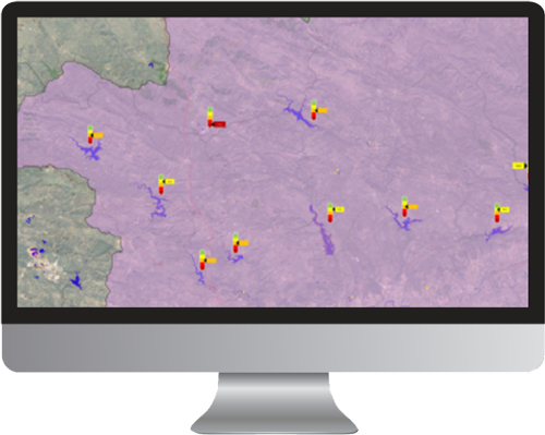
Ministries, basin agencies, and hydraulic infrastructure managers have trusted CLS to support the implementation of new tools and models enhancing their information systems with satellite technologies under programs like Vigisécheresse, FloodDam, and WaterSim.
Latest News

10th Copernicus Ocean State Report: Understanding a Changing Ocean
The 10th Copernicus Ocean State Report highlights major changes affecting our ocean, from rising sea levels to marine heatwaves. Discover its key findings and how CLS contributes to the Copernicus Marine Service and the science behind the report.
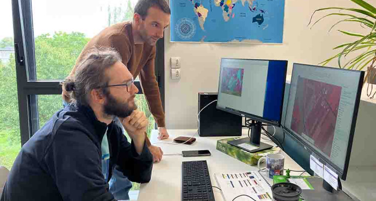
Behind the Maps: Supporting Emergency Response from Space
From wildfires to earthquakes and severe storms, CLS Rapid Mapping teams use satellite imagery to produce clear geographic information that supports emergency response through the Copernicus Emergency Management Service.

Papua New Guinea fisheries delegation visits CLS headquarters in Toulouse
CLS welcomed a high-level Papua New Guinea fisheries delegation to its headquarters in Toulouse, highlighting a long-standing partnership built around satellite technology, maritime expertise and...
Contact Us
Solutions that rise to your ambitions. Talk with our experts to discover how our innovative technologies can transform your operations.
Don’t wait — contact us today!