
Environment & Climate
Our mission: To develop and deliver operational services based on satellite and in-situ data for the conservation of the planet.
CLS brings its expertise to biodiversity, climate, and natural resources, supporting international sustainable development policies.





Know Today, Live Better Tomorrow
The international community has made sustainable development, climate change mitigation and adaptation, and natural resource management major priorities. At CLS, we develop solutions based on the latest space technologies, the result of 30 years of collaboration with the scientific community.
Our tools collect precise data on wildlife, oceans, freshwater resources, the impacts of climate change, and the state of our territories. This information provides concrete solutions to protect biodiversity, optimize agricultural practices, and support urban resilience. We also contribute to the sustainable management of water and forest resources.
Our services improve monitoring of the planet’s environmental state while supporting land conservation and responsible planning. These data enable policymakers, decision-makers, industries, and citizens to take more informed and sustainable actions.

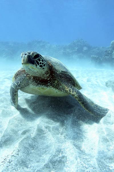
400 000 animals tracked over 40 years with our solutions

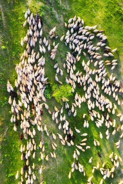
85% accuracy in our cultivated land surface analysis model

50 experts on staff: geographers, urban planners, environmental scientists, geomatics specialists working for resilient and prosperous territories

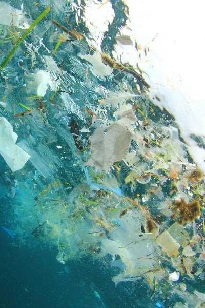
~12 000 pollution events detected and monitored by our experts over the last decade

3,6mm/an: sea level rise measured by our specialists

7 world regions mapped by our analysts (Indonesia, Brazil, Guadeloupe, Martinique, New Caledonia, French Guiana, Africa)
Our Solutions for the Environment and Climate
Biodiversity Protection
Smart
Agriculture
Fighting Pollution
Livestock Management
Oceanography, Meteorology, and Glaciology
Sustainable Water and Forest Resource Management
Land Management, Air Quality, and Soil Artificialization





Earth Observation Programs
A Unique Expertise in Satellite Altimetry for Climate and Ocean Monitoring
For more than 30 years, CLS has played a key role in ocean observation and climate tracking through space altimetry. As a historical partner of major space agencies (CNES, NASA, ESA, EUMETSAT), we design, process, validate, and operate highly accurate satellite data systems.
Our space oceanography and altimetry services feed vital climate indicators—sea level, wave height, marine heatwaves—contributing to better understanding of ocean dynamics and science-based environmental policy-making.





























Latest News

10th Copernicus Ocean State Report: Understanding a Changing Ocean
The 10th Copernicus Ocean State Report highlights major changes affecting our ocean, from rising sea levels to marine heatwaves. Discover its key findings and how CLS contributes to the Copernicus Marine Service and the science behind the report.

CLS to Lead New Copernicus Land Monitoring Contract for Europe’s Coastal & Riparian Zones
CLS has been selected to lead a new consortium responsible for the future production and consolidation of the Coastal Zones and Riparian Zones products of the Copernicus Land Monitoring Service...
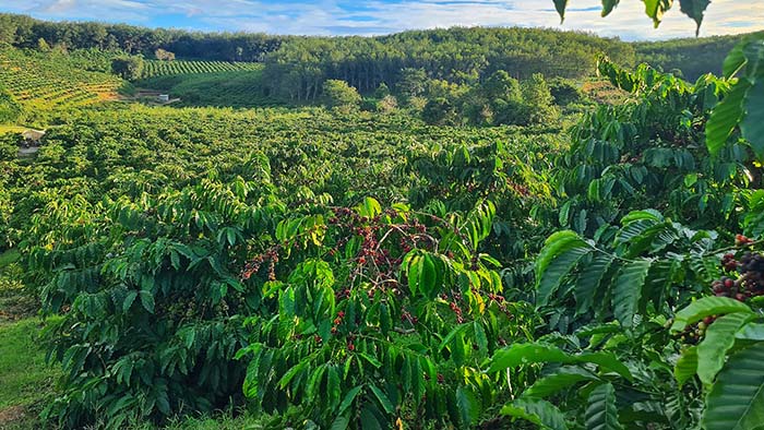
Supporting Sustainable Agricultural Supply Chains with Geospatial Intelligence
Geospatial intelligence is helping organisations improve traceability, assess environmental risks and prepare agricultural supply chains for evolving requirements such as the EUDR. Discover how TraceMark combines Earth observation and enterprise supply chain data to support more transparent and sustainable sourcing.
Contact us
How can we help you?
CLS collaborates with public and private sector partners involved in environmental studies, natural disaster management, and territorial resilience. If you’d like to learn how we can help improve your performance, get in touch.