

10th Copernicus Ocean State Report: Understanding a Changing Ocean
The 10th Copernicus Ocean State Report highlights major changes affecting our ocean, from rising sea levels to marine heatwaves. Discover its key findings and how CLS contributes to the Copernicus Marine Service and the science behind the report.
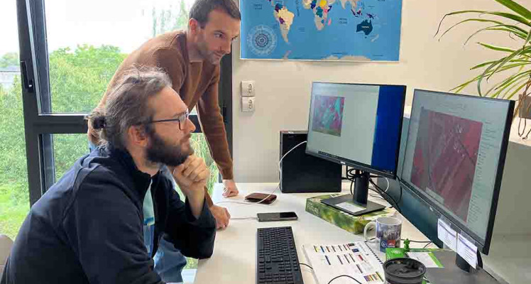
Behind the Maps: Supporting Emergency Response from Space
From wildfires to earthquakes and severe storms, CLS Rapid Mapping teams use satellite imagery to produce clear geographic information that supports emergency response through the Copernicus Emergency Management Service.

Papua New Guinea fisheries delegation visits CLS headquarters in Toulouse
CLS welcomed a high-level Papua New Guinea fisheries delegation to its headquarters in Toulouse, highlighting a long-standing partnership built around satellite technology, maritime expertise and...

CLS to Lead New Copernicus Land Monitoring Contract for Europe’s Coastal & Riparian Zones
CLS has been selected to lead a new consortium responsible for the future production and consolidation of the Coastal Zones and Riparian Zones products of the Copernicus Land Monitoring Service...