
← Back
Behind the Maps: Supporting Emergency Response from Space
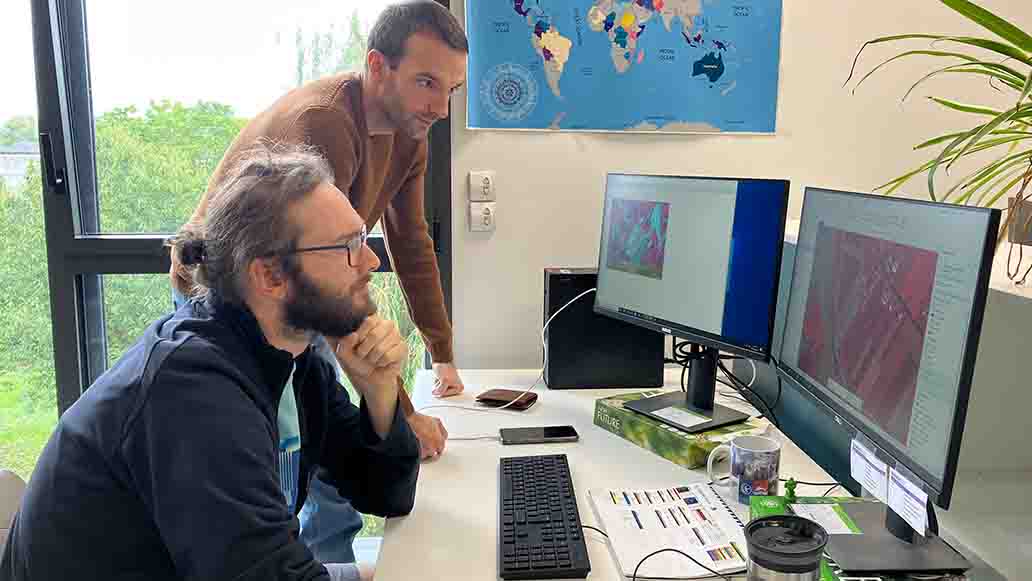
Wildfires, earthquakes and severe storms can affect large areas in a very short time. When these events happen, authorities need reliable information to understand the situation, identify affected areas and assess the impact.
Satellite Earth observation can provide important information. Satellites can observe large areas, including places that may be difficult to access from the ground. This information complements observations and data collected by teams in the field.
Through the Copernicus Emergency Management Service (CEMS) Rapid Mapping component, images are transformed into geographic information that can support authorities and organisations during an emergency.
Producing these maps requires technology, satellite data and human expertise. Teams, such as the dedicated Rapid Mapping team at CLS who, as part of a consortium led by e-geos, analyse the available images and transform them into clear information that can be used as part of the wider emergency response.
Supporting multiple activations during summer 2026
During summer 2026, wildfires affected many regions across Europe, with serious consequences for communities, infrastructure and natural areas.
As part of CEMS Rapid Mapping operations, CLS teams contributed to several activations. Most were related to wildfires in Spain, France, Belgium, Germany, Albania, Serbia, Montenegro and Scotland.
The team also supported activations for other types of events, including an earthquake in Colombia and a severe storm in Italy.
During this period, CLS teams produced close to 40 mapping products, based on the analysis of optical and Synthetic Aperture Radar (SAR) satellite images.
The information produced depends on the type of event and the needs of each activation.
For wildfires, satellite images can help identify the affected area and active fire fronts. For other events, the analysis can provide information about damage to infrastructure, buildings or natural areas.
The objective is to transform complex satellite data into clear geographic information that helps provide a better understanding of the situation.
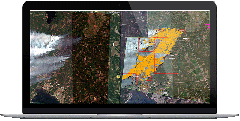
From a satellite image to an operational map
Receiving a satellite image is only the first step.
The images need to be processed, analysed and interpreted before useful information can be extracted.
Different types of satellite images can be used depending on the event and the conditions.
- Optical satellite images provide detailed information about the Earth’s surface. They can help analysts identify changes and affected areas. However, clouds and smoke can sometimes make it difficult to see the ground.
- Synthetic Aperture Radar (SAR) images provide a complementary source of information. Radar satellites can observe the Earth’s surface through clouds and during both day and night. This can be particularly useful when optical images are not available.
CLS specialists analyse these different sources of information using a combination of semi-automated processing and human expertise.
Automated tools help teams process large quantities of data quickly. Human analysis remains essential to interpret the results and check the information.
Every event is different. The type of disaster, the geography of the area, the available satellite images and the information requested all influence how the data is analysed.
Behind the maps: a team operating 24/7
During an emergency, information can quickly become outdated as the situation changes.
New satellite images must be identified and processed. The affected areas must be analysed. The results must then be checked and transformed into geographic information.
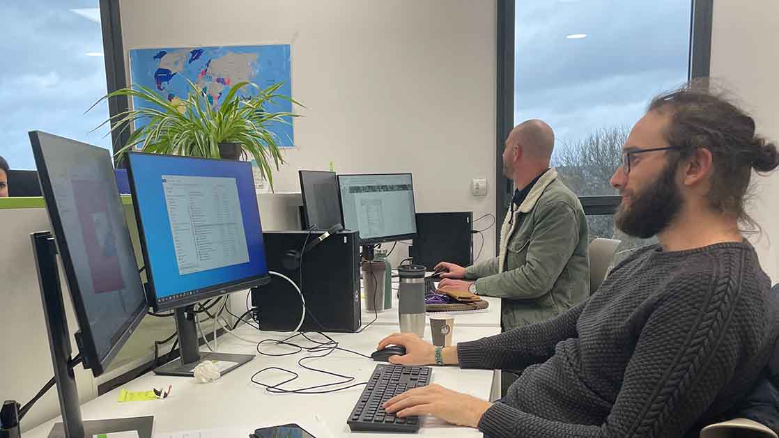
For this reason, the CLS Rapid Mapping team contributes to a 24/7 operational service.
Each mapping product involves several steps. Specialists identify and assess the available satellite data, process the images, analyse the affected areas, check the results and prepare the final geographic information.
The process combines satellite technology, semi-automated tools and human expertise.
Speed is important, but so is the quality of the information. Producing a map quickly is only useful if the information it contains is reliable and easy to understand.
Supporting a wider emergency response
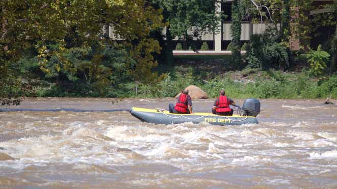
Satellite mapping is one source of information among many during an emergency.
It does not replace information from emergency services, local authorities or teams working in the affected area. Instead, it provides an additional view of the situation.
Combined with information from the field and other sources, satellite data can help provide a more complete view of an event and its impact.
The activations of summer 2026 illustrate the role that Earth observation can play in this wider response. For the CLS Rapid Mapping team, the objective remains the same for every activation: to turn satellite observations into clear and reliable geographic information that helps authorities understand the situation and assess its impact.