← Back
Turning Water Risk into Resilience in Peru with Satellite Technology
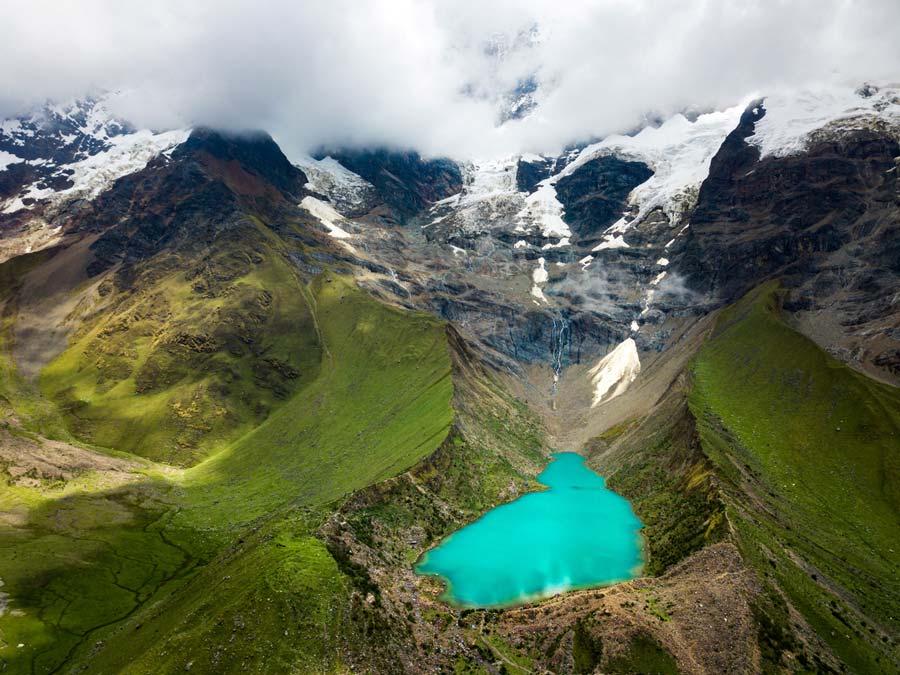
From drought-stressed highlands to flood-ravaged coasts, Peru’s relationship with water is one of extremes. In the Andes, mining and agriculture are challenged by scarcity. In the north, regions like Piura, Tumbes, and Lambayeque face regular devastation from El Niño-induced flooding.

María-José Boluarte, Managing Director of CLS Peru, and Christophe Fatras, Hydrology Expert at CLS France
In this joint interview, María-José Boluarte, Managing Director of CLS Peru, and Christophe Fatras, Hydrology Expert at CLS France, discuss how science and satellite-based solutions can transform the way Peru manages its water resources, shifting from crisis response to long-term resilience.
What are the most pressing water-related challenges Peru is facing today?
María-José: In Peru, we’re dealing with two very different but equally urgent problems. In the Andes, mining and agriculture are under increasing pressure due to water scarcity. It’s no longer enough for companies to say water is available; they have to prove it with concrete, real-time data.
Meanwhile, on the northern coast, we’re repeatedly hit by severe flooding during El Niño events. Communities are evacuated, infrastructure is damaged, and public agencies are left scrambling. We urgently need to shift from reacting to anticipating.
Christophe: This kind of dual challenge, drought in one region and flooding in another, is something we’re seeing in many parts of the world. It’s where Earth observation and satellite technology can play a major role. At CLS, we use satellite altimetry, radar, optical imagery, and AI models to track water levels, estimate availability, and forecast seasonal trends. This kind of data can be a game changer when planning for extreme events.
How can satellite technology support smarter water management in Peru?
Christophe: We’re already using these tools in operational settings. One example is Lakes_CCI, a project we support for the European Space Agency. It monitors lakes and reservoirs globally using satellite data. This provides reliable, long-term insights into water body dynamics which is incredibly useful information for both planning and crisis management.
For flooding, we’ve developed FloodML, which combines radar and optical satellite data to detect floods even through clouds or at night. These insights are delivered through the Copernicus Emergency Management Service, helping responders act quickly and effectively.
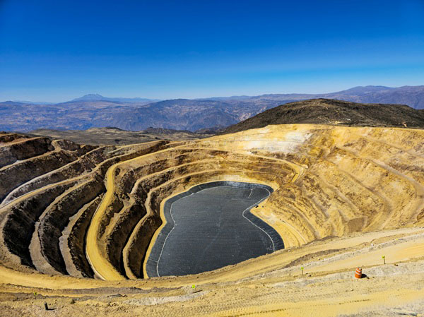
María-José: That’s exactly what Peru needs. Transparency is essential, especially for the mining sector. If companies can present robust data about water availability, they gain credibility with regulators and trust from communities.
For public agencies, access to this kind of data enables them to develop evidence-based strategies. With tools like FloodML and Lakes_CCI, we could move from emergency response to preventive action and save both lives and infrastructure in the process.
What steps has CLS Peru taken so far and what’s next?
María-José: We’ve started collaborating with both public institutions and private companies to introduce satellite-based solutions for water resource management and disaster preparedness.
But we want to go further. We want to build stronger partnerships, scale our tools, and support decision-makers across urban planning, civil defense, and environmental protection.
The goal is to make water data not just available, but actionable.
Christophe: That’s where our partnership comes in. At CLS France, we’re ready to support these efforts with proven satellite systems and modeling capabilities. What we’re doing together in Peru can serve as a model for other regions by showing how local insight and global tech can work hand in hand to build resilience.
Want to learn more? Our teams at CLS Peru and CLS France are here to support your water resilience journey. Contact us to explore how satellite-based tools can help you plan ahead.

