← Back
EvoLAND: a New Breakthrough in Water Detection

EvoLand is a European project working to improve how we monitor landscapes using satellite technology. It aims to enhance the Copernicus Land Monitoring Service (CLMS) by developing new tools that make land observation faster, more accurate, and automated.
Focusing on agriculture, forests, water, and cities, EvoLand helps governments and environmental agencies access real-time, reliable data for better land management. By integrating AI and advanced technology, it tackles challenges like climate change and urban growth.
CLS, a longtime Copernicus partner, is part of the EvoLand consortium thanks to its vast expertise in Earth Observation. Coordinated by Vito remote sensing, the consortium also includes the International Institute for Applied Science Analysis, CESBIO, Sinergise, Joanneum Research, CNES, DLR, GAFAG and Evenflow.
The project has recently had a breakthrough, solving a common challenge in satellite monitoring: accurately detecting water bodies.
To learn more, we asked Christophe Fatras, R&D Engineer in Space Hydrology at CLS who is involved in the EvoLAND project as a technical expert, to explain this development and why it matters.

Christophe Fatras, R&D Engineer in Space Hydrology at CLS involved in the EvoLAND project as a technical expert
Christophe, what’s the issue with detecting water using satellites?
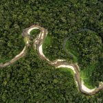
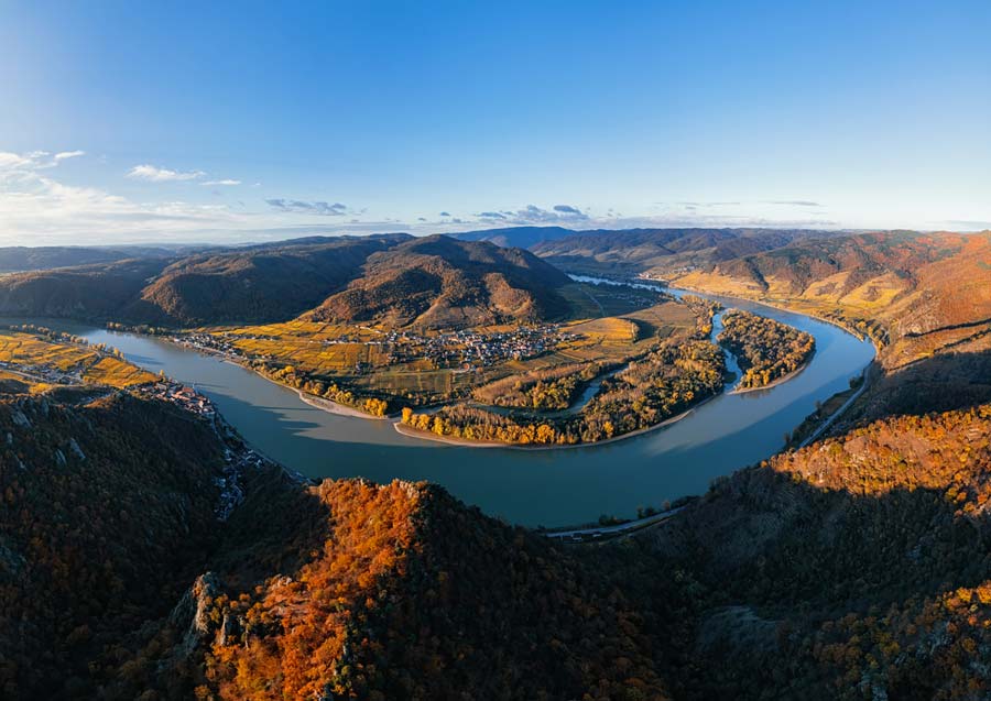
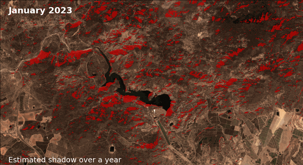
One of the challenges is that shadows—especially in mountainous areas—can be mistaken for water in satellite images. This can lead to errors in mapping lakes, rivers, and reservoirs, affecting water management, flood risk assessment, and environmental planning.
Since water monitoring plays a crucial role in managing natural resources, we needed a way to separate actual water from shadowed areas.
Has this method been tested, and what’s next?
Yes! In Southern Spain, for example, but also on other test sites, and the results were spot on—our predicted shadows matched exactly with real satellite images. This means our new method is more reliable and diminishes the misdetections linked with shadows, improving the accuracy of the detection of water bodies.
This improvement will soon be part of the next generation of water monitoring tools, helping governments and environmental agencies better manage water resources, prevent floods, and protect ecosystems. And this is just one of many innovations coming from EvoLand—there’s plenty more ahead!
EvoLand is shaping the future of land monitoring, making Earth Observation smarter, more efficient, and more useful for real-world decision-making.