Urbanization & ZAN Challenge
Dynamic, Ultra-Precise Data to Manage Urban Footprints
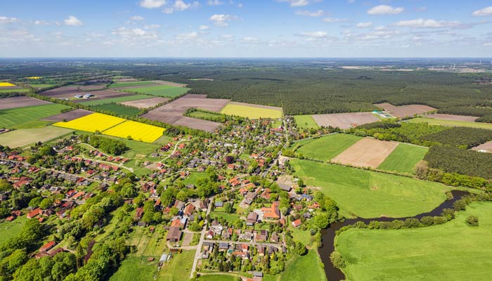
In France, soil artificialization exceeds the European average. Since 2006, 20,000 hectares of land are urbanized each year.
The consequences of this artificialization include:
- Impermeable soils
- Increased risks (flooding, heatwaves, etc.)
- Sharp biodiversity loss
- Widening territorial inequalities
How can this be addressed? By halving land artificialization by 2030 and achieving net-zero artificialization by 2050.
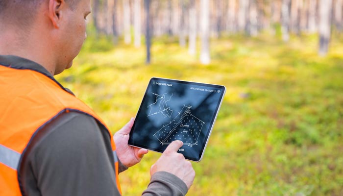
Stakeholders must acquire a precise, objective, qualitative, dynamic, and land-specific understanding of their territory, along with reliable data on artificialization and the pressure on agricultural, natural, and forested areas.
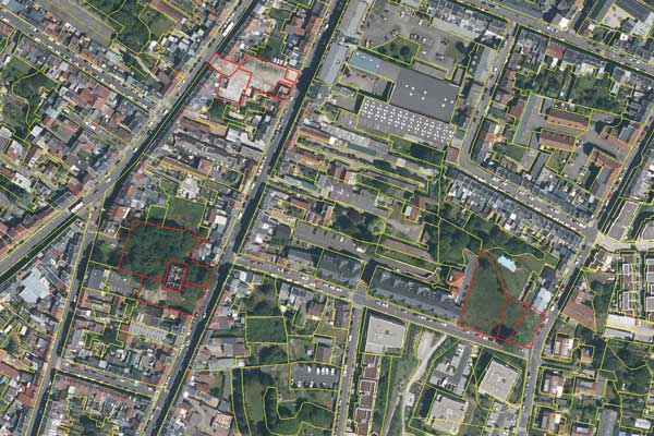
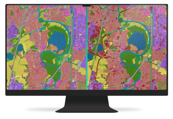
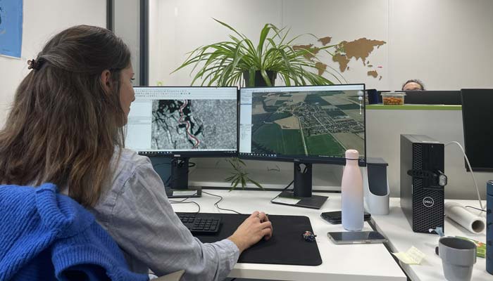
CLS provides strategic data and ultra-precise, customized mapping for effective, resilient governance tailored to each territory:
- Land use mapping from macro to micro scale
- Historical, current, and predictive mapping
- Detection of renaturation and artificialization potentials
- Databases tracking land use changes, land consumption, and statistics
30 years of experience in land mapping
Over 50% of French cities mapped
300 SCOT (territorial coherence plans) mapped in high-resolution land use

50 experts including geographers, urban planners, environmental scientists, and geomaticians dedicated to resilient, sustainable territories

Featured Projects
Le Grand Lyon
Committed to its residents' well-being, Greater Lyon launched a project to identify and preserve natural spaces in the city. CLS was chosen to support this effort.
Our experts enabled the city to gain precise knowledge of its vegetation and natural habitats to develop actions for preserving and rehabilitating ecological corridors and adapting to climate change.
MOS Land Department
In collaboration with ADEUPA Brest, CLS developed a service that automatically generates cadastral parcel-based land use data through the cross-analysis of business data (IGN, CEREMA, ASP, etc.).
This solution allows each land unit to be quickly and easily assigned its specific land use. It also supports regular updates to monitor ENAF and ZAN-related challenges.
Contact Us
Want to learn more about our innovative solutions? Contact our experts to discover how our cutting-edge technologies can address your needs in smart and sustainable land management.
Together, let’s build solutions tailored to your challenges.