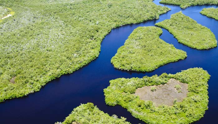
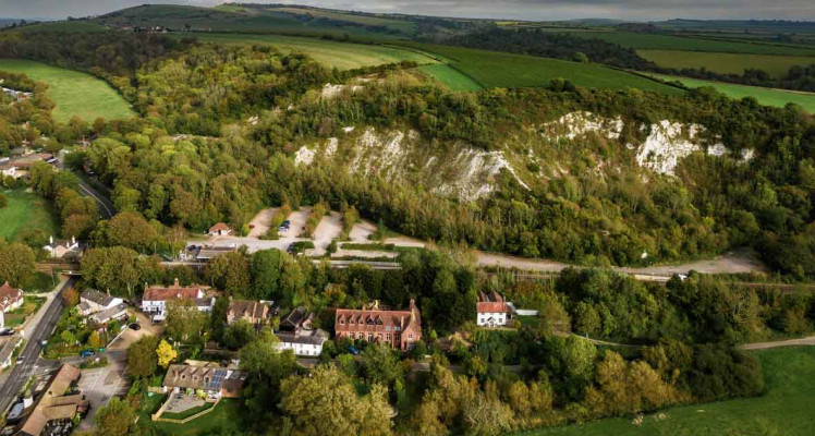
Land Management, Air Quality & Combating Land Artificialization
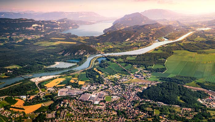
Plan, Manage, Anticipate: Data-Driven Land Management
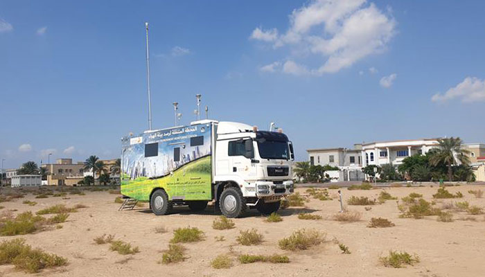
CLS assists both international and local stakeholders in managing land and air quality. For over 30 years, the company has been producing geographic data from satellite, aerial (aircraft and drones), and in-situ observations, and offers solutions for monitoring air quality, noise, and odors—recognized worldwide.
CLS delivers a broad range of decision-support services and solutions to national and supranational institutions, local authorities, and industries, based on:
- Earth observation data (satellites, aircraft, drones, and in-situ) using optical, radar, and LiDAR technologies.
- A unique and optimized combination of geographic information analysis methods tailored to tight deadlines and high quality standards.
- Proven and recognized services for monitoring ambient and indoor air quality, continuous industrial emissions, noise, vibrations, odors, water quality, electromagnetic fields, and air quality modeling.
300+ cities mapped at large scale

50+ experts: geographers, urban planners, environmental scientists, geomaticians committed to resilient, sustainable territories
2 primary data collection vectors: satellites and airborne systems
150+ emergency mapping activations (fires, floods, earthquakes) under the Copernicus Emergency program


Latest News

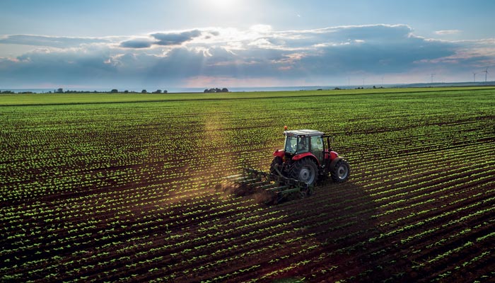
How Herd Management Software is Transforming Modern Livestock Farming
In a remote rangeland, a herder checks his phone instead of saddling his horse. Overnight, one of their animals has strayed beyond the usual grazing zone. Another shows unusual movement patterns...

Smart City: How Space is Shaping the Future of Marseille
Understanding a territory is the first step in building a smart city. Yesterday, at the Smart City Expo World Congress in Barcelona, CLS and the Aix-Marseille-Provence Metropolis presented a...
Harnessing AI & Satellites to Map Europe’s Small Landscape Features
The Copernicus Land Monitoring Service (CLMS) released the latest update of its Small Landscape Features (SLF) product, formerly known as Small Woody Features, on September 24th 2025. Using...
Contact Us
Turn challenges into opportunities. Our teams are here to support you with tailored solutions.
Contact us today to explore the full potential of our advanced tools.