← Back
Smart City: How Space is Shaping the Future of Marseille

Understanding a territory is the first step in building a smart city. Yesterday, at the Smart City Expo World Congress in Barcelona, CLS and the Aix-Marseille-Provence Metropolis presented a concrete case study: how Earth Observation and AI make it possible to analyse Marseille’s urban development with unprecedented precision.
A mapping approach that transforms urban planning
During the Agora session, Sébastien Delbour (CLS) and Nicolas Kulpinski (Geomatics Engineer, AMP Metropolis) highlighted a key challenge: clearly distinguishing land use from land cover. These two different but essential concepts underpin any smart city strategy:
- Land Use: how space is managed.
- Land Cover: what physically occupies that space (buildings, vegetation, mineral surfaces, etc.).
To address this need, CLS developed a comprehensive Land Use & Land Cover (LULC) solution for Marseille. It provides a detailed portrait of the territory and reveals the dynamics driving its evolution.
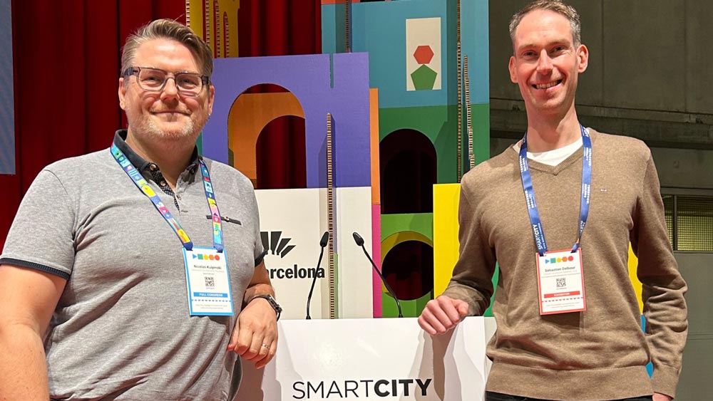
Sébastien Delbour and Nicolas Kulpinski
Satellite imagery + AI: a decisive combination
To obtain this level of detail, CLS relies on:
- Both open-access and commercial satellite imagery
- AI algorithms to extract urban features
- GIS data and recognised domain expertise
The result is a decision-support tool capable of monitoring land consumption, identifying changes, and anticipating risks. It also supports sustainable urban development in line with regulatory frameworks.
This approach can be replicated in any city. It is built on global access to satellite imagery and benefits from increasingly rich urban geospatial data. It is also advancing rapidly thanks to progress in AI, which enhances analytical precision year after year.
Smart City: CLS’s commitment to the ZAN Challenge
This work carried out in Marseille is part of a national priority: meeting France’s ZAN (Zero Net Land Take) objectives.
Since 2006, France has been converting around 20,000 hectares of land every year, a pace that is profoundly reshaping its territories. This growth is making soils increasingly impermeable, heightening the risks of floods and heatwaves.
It also leads to a massive loss of biodiversity and contributes to widening territorial inequalities. All of this is unfolding against a backdrop of fragile natural areas and urban zones that are sometimes under significant pressure.
To reverse this trend, public authorities need precise, objective and dynamic data. CLS addresses this need thanks to:
- Over 30 years of experience in mapping
- 50% of French cities already mapped
- 300 SCOTs analysed in high resolution
- Expert teams of geographers, urban planners, geomatics specialists and scientists
Dynamic data for resilient territories
CLS offers solutions tailored to each territory, including:
- Land-use mapping from macro to micrometre scale
- Historical, current and predictive datasets
- Detection of areas that can be renaturalised or that have been artificially developed
- Databases to track land consumption
This information enables robust, agile territorial governance that is fully aligned with regulatory requirements.
Near real-time monitoring
The next major step for any smart city will be the ability to receive near-instant alerts whenever a change occurs within its territory. This may involve a shift in land use, the emergence of a risk zone, or the detection of illegal development.
Thanks to Earth Observation and AI, this continuous vigilance paves the way for greener, more resilient and better-planned cities.
Related Posts:
 A Third Milestone for Argos Services: Successful launch of 5 more IoT Nanosats
 European Commission Renews its Trust in CLS to Lead a Component of the Copernicus Global Land Service Until 2027
 New Generation of Argos Services are on Their Way With the 1st Launch of the Kineis Constellation on the 20th of June!
 CLS’ Solutions Are Getting a Boost