Sustainable Forest Management
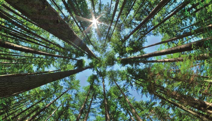
Satellite Expertise for Sustainable Forest Management
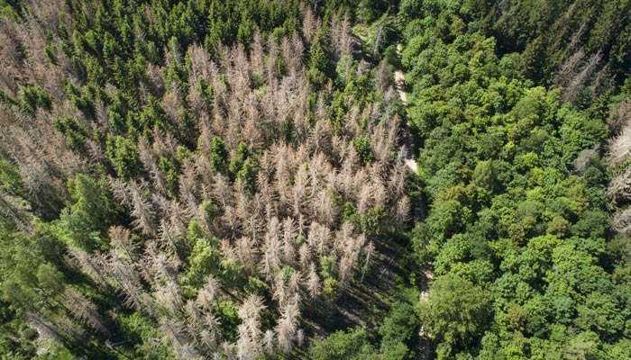
Deforestation is a global concern with severe consequences including biodiversity loss, climate change, soil erosion, desertification, flooding, and increased zoonotic diseases. According to the FAO, around 420 million hectares of forest have been lost since 1990.
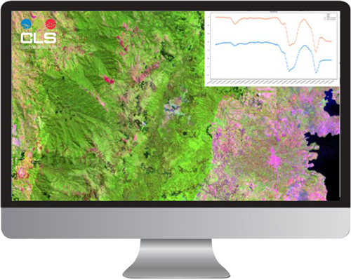
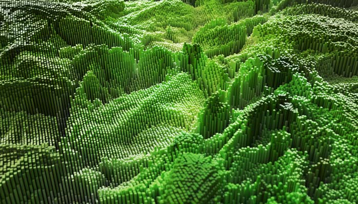
Satellite technologies enable the measurement of essential parameters for sustainable forest management such as tree height, density, distribution, and surface area. These insights are vital for evaluating the state of global vegetation cover.
With over 30 years of collaboration with forest managers, CLS experts locate, monitor, and assess forest cover dynamics at multiple scales, supporting sustainable forestry policies.

200+ projects led by CLS’s Earth & Water division specialists over the past 4 years

420 000 million hectares of forest lost since 1990

35% of global mangroves lost over the past 50 years due to urbanization, agriculture, and aquaculture
Mangrove Detection and Monitoring: Mapping to Protect
Mangroves are vital for coastal protection, carbon storage, and biodiversity but are disappearing at an alarming rate.
With over 30 years of expertise in satellite imaging and data processing, we map these ecosystems, track their evolution, and identify threats to better protect them and support conservation strategies.
Featured Projects
- Copernicus Land Monitoring Services High Resolution Layers Forest & Small Woody Features
- ECOLASS: Evolution of Copernicus Land Services based on Sentinel data
- GMES FM: Global Monitoring for Environment and Security – Forest Monitoring
- REDD, REDDAF, REDD+: Reducing Emissions from Deforestation and Forest Degradation
- Earth Observation for Sustainable Development (EO4SD)
- EOMonDIS: Earth Observation services for monitoring dynamic forest disturbances
- OSFACO: Satellite observation of tropical forests
- GEOFORAFRI: Capacity building and access to satellite data for forest monitoring in Central and West Africa
- AI4GEO: Artificial intelligence for 2D and 3D geospatial data
- EOCLINIC...
Latest News
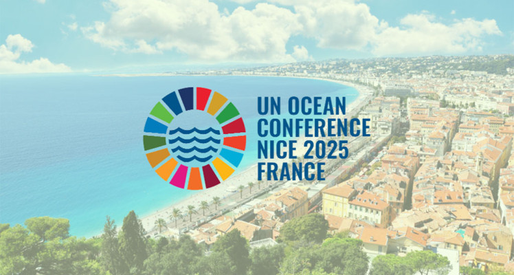
CLS at the 2025 United Nations Ocean Conference
Committed to a sustainable future for the ocean From June 4 to 13, 2025, CLS will actively participate in the United Nations Ocean Conference (UNOC), held in Nice and Monaco. Alongside official...
A New Era of Argos Smart Environmental Solutions
Back in 2018, Kinéis, the brainchild of CNES and CLS, was created with one objective: revolutionizing the first space IoT dedicated to the environment. Now, the adventure has come full orbit thanks...
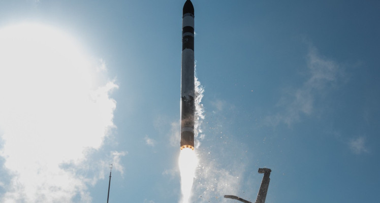
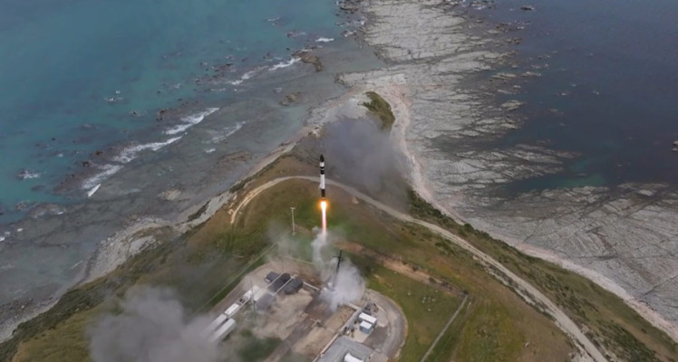
Argos Services Enhanced with 4th Successful Launch of 5 Nanosats
We are excited to share that our Space IoT partner Kinéis and their launcher Rocket Lab have successfully launched another 5 nanosats for the fourth time. The addition of these state-of-the-art...
Contact Us
Got a question or a project in mind? Our experts are here to help you find custom solutions tailored to your specific needs.
Fill out our contact form and let us support your success.