Smart Agriculture

Crop Monitoring and Agricultural Potential Assessment
From Kenya and Uganda to Martinique, CLS experts contribute to managing agricultural territories.
How? By combining existing data (local, national, global) with data generated by CLS teams (photointerpretation, machine learning-based classification), resulting in reliable, tailored solutions for monitoring crops and territories.
CLS handles complex datasets, whether excessive or lacking, and transforms them into clear, accessible, and actionable information.
These services are designed for both private and public stakeholders to:
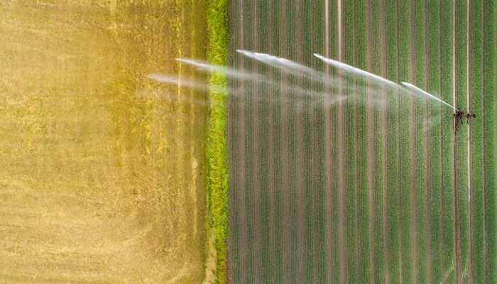
- Analyze the water needs of a farm.
- Map crop types.
- Detect crop anomalies: flooding, pests, etc.
- Estimate yields.
- Assess soil quality.
30 years of experience in land mapping

40+ crop types detectable by CLS algorithms
85% accuracy in cultivated area analysis models

50 experts including geographers, urban planners, environmental scientists, and geomaticians dedicated to resilient, prosperous territories

Featured Projects

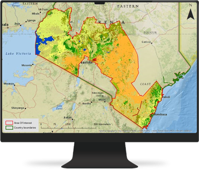
GEOCLAM
As part of this UN-led initiative, CLS developed a crop mapping service. Participating countries now have access to vital crop data over multiple cycles and years.
Agricultural Potential in Martinique
The Food, Agriculture and Forestry Directorate of Martinique engaged CLS to support its food resilience strategy.
CLS delivered strategic land use data, helping identify the agronomic potential of parcels across the island while considering environmental constraints and human activity.
Contact Us
Gain a competitive edge with our solutions. Want to learn more about our services or discuss your projects?
Contact us today and benefit from the expertise of our specialists.