Wildfires and Forest Fires Management
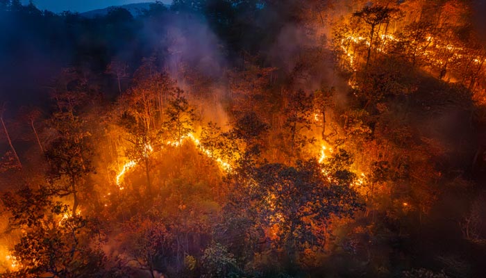
Prevent, Monitor, Act: Our Expertise in Combating Wildfires
At CLS, we bring together our satellite expertise, advanced analytical tools, and environmental commitment to support public and private stakeholders in addressing the growing threat of wildfires.
With more than 30 years of experience in Earth monitoring, we provide high-value solutions for anticipating, monitoring, and analyzing wildfires, both in France and internationally.

Wildfire Management:
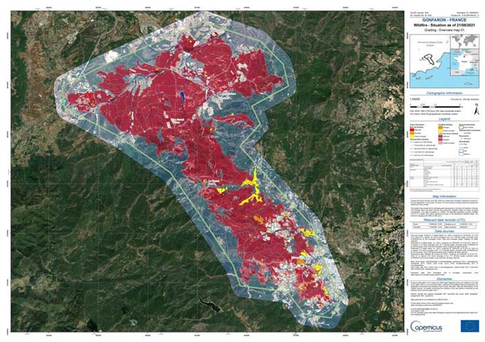
CLS Expertise at the Core of Copernicus Emergency
CLS plays a key role in the Copernicus Emergency program, providing fast and accurate impact maps during wildfires. Thanks to satellite imagery and geospatial analysis expertise, we support authorities in monitoring wildfires, protecting populations, and assessing damage.
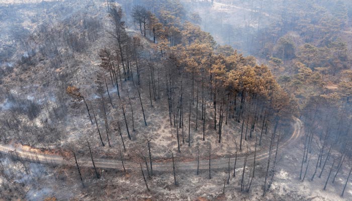
A vital solution to enhance wildfire risk management and the resilience of forested areas.
Contact Us
A partnership that makes a difference. Share your needs with our teams and discover solutions tailored to your ambitions.
Get in touch with us to open new perspectives together.