Earth Observation Expertise
CLS’s Expertise in Earth Observation Programs and Space Oceanography
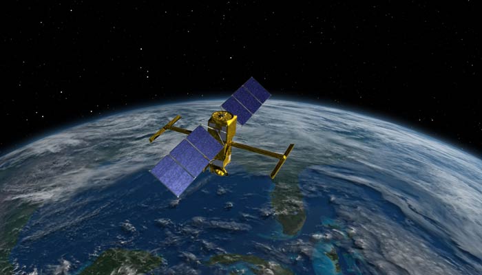
Since the early 1990s and the launch of the Franco-American TOPEX/Poseidon satellite, CLS has built unparalleled expertise in Earth observation, particularly in the field of space oceanography.
This mission, a collaboration between NASA and CNES, revolutionized our understanding of ocean-climate interactions. By continuously measuring global sea surface height, TOPEX/Poseidon laid the foundation for today’s climate change research.
From the outset, CLS played a key role by contributing to the design of data processing chains and ensuring the reception, processing, and qualification of altimetry data.
Today, the data collected by TOPEX/Poseidon and its successors remain fundamental to computing the Global Mean Sea Level (GMSL), a key indicator of climate change effects.
CLS has consistently managed the processing of all global altimetry mission data, working with multiple space agencies to deliver reliable, accurate datasets to the global scientific community.
Processing, Calibration & Validation of Altimetry Data
Mastery of the entire altimetry data processing chain is central to CLS’s expertise.
Our engineers and scientists handle the processing, calibration, and validation of satellite data from ocean observation and hydrological networks.
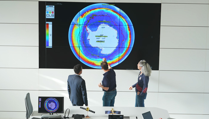
Each step is rigorously controlled to ensure precision and reliability. Validated data feed into strategic databases used by space agencies and researchers worldwide.
CLS’s ability to process and recalibrate historical data is vital for monitoring sea level changes and improving predictive models. This data is integrated into analysis platforms for optimized visualization and decision-making.
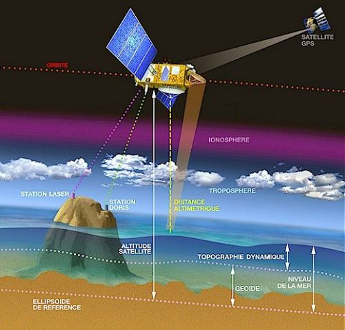
Principle of altimetric signal acquisition and sea surface height calculation using satellite missions with altimeters.
The Importance of Historical Data Reprocessing
Since October 1992, radar altimetry satellites have accurately measured the global mean sea level, capturing combined effects of ocean thermal expansion, ice melt, and groundwater extraction.
CLS experts work to reprocess historical data, correcting and enhancing analyses of past water level variations. This work deepens climate understanding and strengthens forecast reliability.
Such efforts ensure that historical datasets remain accurate and relevant to ongoing climate studies.
A Trusted Partner for International Space Agencies
CLS supports major institutional space actors like ESA, CNES, EUMETSAT, NASA, NOAA, JAXA, and ISRO.
Our engineers, researchers, and Earth science PhDs design, develop, validate, and operate Earth observation systems. These systems, particularly altimetry missions, are fundamental to monitoring Earth’s health.
Beyond operating current systems, CLS anticipates future needs with technological advancements to secure long-term satellite observation. These innovations help assess the real impact of climate change and deliver resilience solutions for future challenges.
This recognized know-how makes CLS a trusted partner for space agencies and global institutions dedicated to environmental protection.

Comprehensive Data Mastery for High-Precision Services
Being deeply involved from data acquisition to end-use gives CLS full command over processing and analysis chains.
Thanks to our advisory role in satellite system design and calibration/validation strategies, we ensure exceptional data quality and reliability. This expertise informs critical climate indicators like the global mean sea level—a key metric in climate change tracking.
CLS also enriches meteorological-oceanographic (MetOcean) databases vital to many of its strategic services. Advanced use of altimetry and radar imaging provides top-tier data inputs, enabling the development of high-performance, reliable, and precise services.
Combining scientific rigor, technical excellence, and a forward-looking mindset, CLS continues to innovate to deliver ever more effective and tailored solutions for today’s and tomorrow’s environmental and climate challenges.
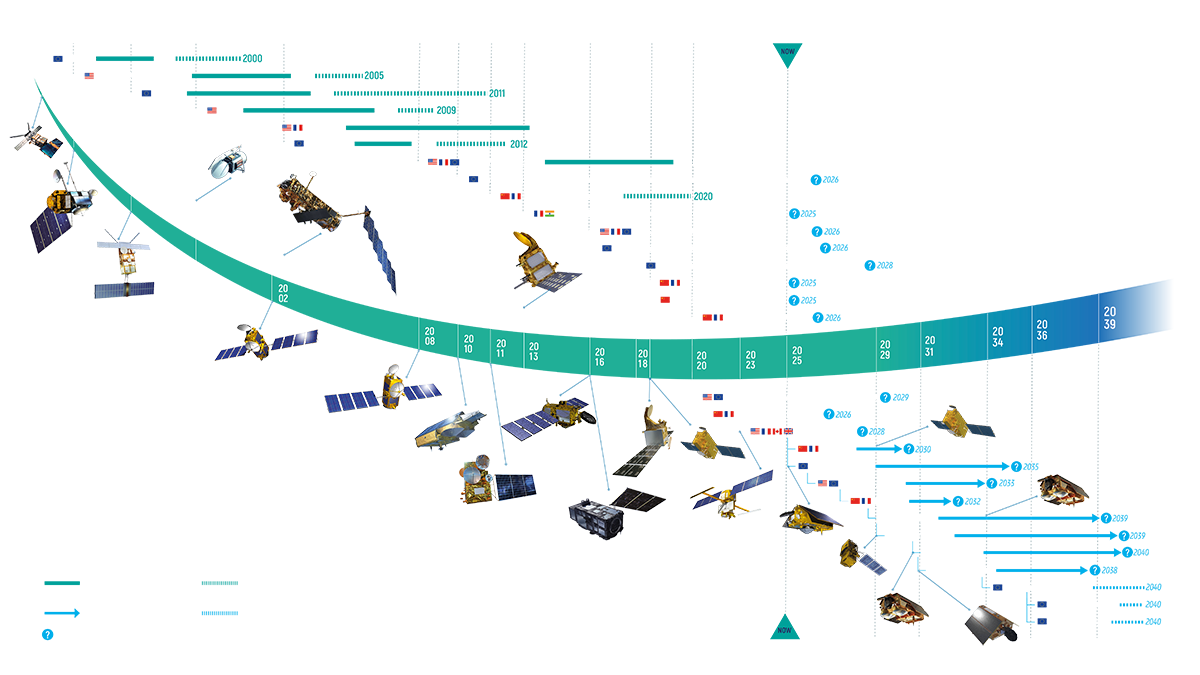
Altimetry Missions Processed by CLS