← Back
Harnessing AI & Satellites to Map Europe’s Small Landscape Features

The Copernicus Land Monitoring Service (CLMS) released the latest update of its Small Landscape Features (SLF) product, formerly known as Small Woody Features, on September 24th 2025. Using AI-driven image analysis and advanced data processing, this update brings a sharper, more comprehensive view of the small but vital natural elements that shape Europe’s environment.
With over 40 years of expertise in satellite observation and environmental monitoring, and by harnessing the power of AI, CLS is proud to lead this major European effort alongside GeoVille, Cotesa, and Evenflow. Together, the consortium is delivering next-generation mapping products that reveal how hedgerows, shrubs, and small vegetation patches evolve across Europe, helping to better understand, monitor, and protect our natural ecosystems.

Harnessing Artificial Intelligence for smarter land monitoring
At CLS, innovation is at the core of our Earth observation approach. For the Small Landscape Features project, our entire production chain is powered by AI.
We start with a foundation model, an AI model that has already learned to recognize patterns in satellite imagery on a general level. Our teams then specialize this model through a process known as fine-tuning, training it with new, high-quality datasets specifically focused on tree and vegetation detection across diverse European landscapes.
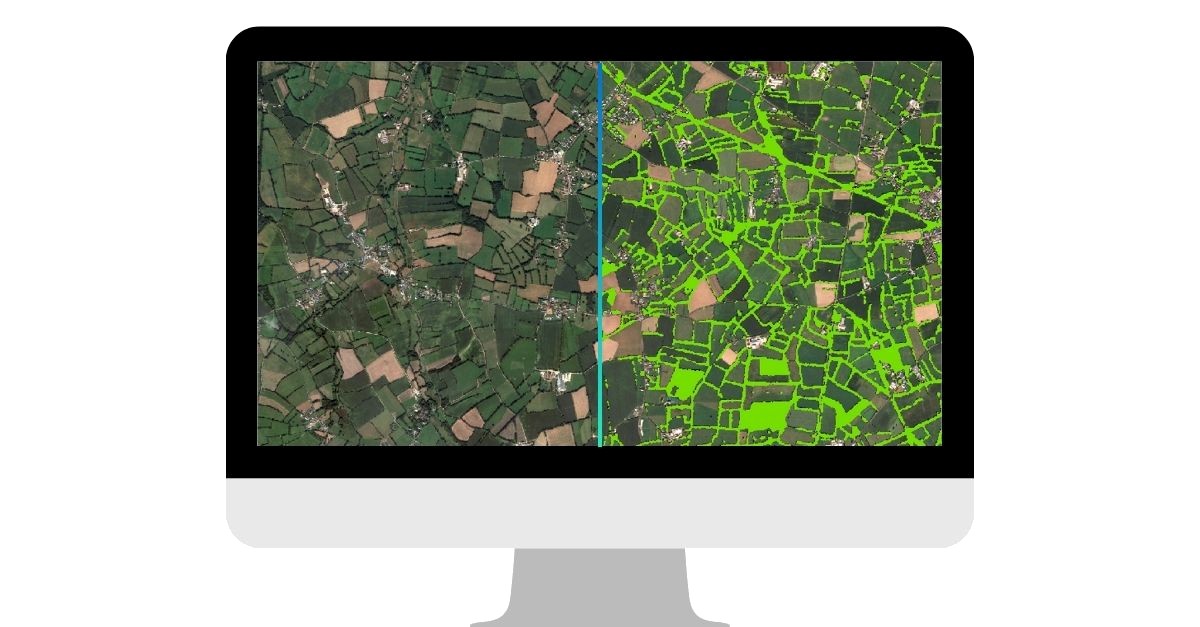
Once optimized, this fine-tuned model is applied to the vast archive of satellite images available through Copernicus. The result is a highly accurate, consistent, and automated mapping of woody features at continental scale, a task that would be impossible to achieve manually.
By combining AI and satellite expertise, CLS delivers data that are not only precise and reproducible but also adaptable to new environmental challenges, confirming our position at the forefront of next-generation Earth observation technologies.
What this update delivers
The project covers EEA38 countries and provides multiple products for 2021:
- Woody Vegetation Layer (WVL): maps all woody vegetation, including isolated trees and orchards.
- Small Woody Features (SWF): vector and raster layers capturing hedgerows, shrubs, and small tree clusters.
- Street Tree Layer (STL): derived from the WVL, showing trees along roads and streets.
- SWF Raster 100 m product: large-scale aggregation from high-resolution 5 m data.
- SWF Change Layer (SWFC): shows where small woody features are stable, increasing, or decreasing.
- Revised 2018 WVL: ensures consistency across 2018, 2021, and 2024 datasets.
These layers offer scientists, policymakers, and land managers an unprecedented look at the fine-scale structures that sustain ecosystems and agricultural landscapes.

Why small features matter
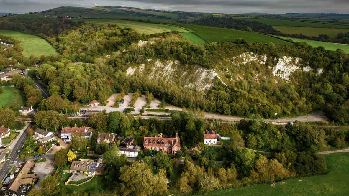
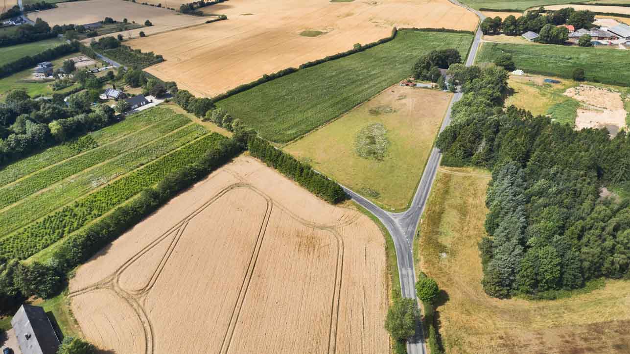
Small landscape features might be barely visible from the ground yet together, they form one of the most important ecological networks in Europe.
Biodiversity lifelines
Hedgerows, tree lines, and small woodlots serve as habitat corridors for countless species of birds, insects, and small mammals. These linear and patchy elements connect larger natural areas, allowing wildlife to move safely across agricultural and urban landscapes.
By maintaining this ecological connectivity, small landscape features help counter habitat fragmentation, one of the leading causes of biodiversity decline.
Natural protectors of soil and water
These features play a key role in sustainable agriculture. Woody vegetation and ground cover along fields prevent soil erosion, reduce nutrient runoff, and improve water infiltration. They act as natural barriers that protect rivers and groundwater from agricultural pollution while stabilizing soils and maintaining fertility.
In areas prone to drought or heavy rainfall, their presence helps buffer the effects of extreme weather, improving the land’s overall resilience.
Climate regulators and carbon sinks
Every hedgerow, shrub, or line of trees captures carbon dioxide and stores it in biomass and soil. Though small, their collective contribution across Europe is substantial.
Moreover, these elements influence local microclimates, providing shade, moderating temperature, and reducing wind speed, which benefits both crops and livestock.
Cultural and aesthetic value
Beyond their ecological importance, small landscape features are part of Europe’s cultural heritage. They shape the visual identity of rural regions, mark historical field boundaries, and reflect traditional land stewardship practices passed down through generations.
Preserving them means maintaining the character and continuity of European landscapes, an aspect increasingly recognized in landscape conservation policies.
Invisible no longer
Thanks to high-resolution satellite Earth observation and the analytical capabilities of the Small Landscape Features (SLF) project, these subtle elements are now systematically mapped , monitored and updated every three years across the entire continent.
By making the invisible visible, CLS and its partners are helping policymakers, researchers, and land managers measure the ecological value of these small features, and integrate them into strategies for biodiversity protection, sustainable farming, and climate adaptation.

Turning satellite data into solutions
Through advanced image analysis and AI-driven processing, the SLF products offer a harmonized, repeatable, and objective picture of Europe’s landscapes.
These datasets directly support monitoring under the EU’s Common Agricultural Policy (CAP), biodiversity strategies, and climate adaptation policies.
This project exemplifies CLS’ mission: using space-based data and Artificial Intelligence to understand, protect, and sustainably manage our planet’s resources.
Looking ahead: the 2024 horizon
The next update will extend the time series and refine methodologies even further. This continuity enables long-term tracking of landscape trends, critical for effective environmental management across Europe. From Irish hedgerows to Mediterranean orchards, Europe’s small landscape features tell a big story about the health of our environment.
By leading this Copernicus initiative, CLS demonstrates how Earth Observation technology can make the invisible visible, empowering sustainable decisions for generations to come.


