Home > Expertise > Satellite Data Expertise

Satellite Data Expertise

swot altimetric satellite

A Historical, Multi-Source, and Action-Oriented Expertise

CLS transforms satellite data into actionable levers for territories, industries, and the environment. Scientific expertise, technological mastery, and an operational vision are at the core of our approach.

Created by CNES in 1986 to operate the Argos data collection and location system, CLS was a pioneer in satellite data exploitation and was geolocating objects from space well before the rise of GPS.

Building on this legacy, the company has developed recognized expertise in signal processing, geospatial positioning, in-situ data collection, operational oceanography, Earth observation, and radar image analysis.

Today, this expertise is structured around 3 key pillars:

  • Data Collection and Geolocation
  • Earth Observation
  • Radar Imaging
gazelle satellite argos

Mastering Data from Source to Value: Collection, Transmission, and Enhancement

Founded to operate the Argos satellite system, CLS has based its know-how on collecting environmental data.

As a specialist in tracking mobile objects long before GPS, CLS has evolved to integrate, enrich, and leverage data from beacons, sensors, and connected objects worldwide, on land and at sea.

Whether monitoring migratory species, vessels, or isolated installations, CLS offers reliable and proven systems connected to a robust processing chain to ensure high-quality geolocated data, ready for scientific, industrial, or institutional use.

SWOT satellite CNES

Observing Oceans and Land from Space to Understand and Anticipate

Since the 1990s and the TOPEX/Poseidon satellite mission, CLS has become a key player in space oceanography.

In close collaboration with space agencies (CNES, NASA, ESA, EUMETSAT...), CLS designs, operates, and optimizes altimetry data processing chains, enabling the measurement of sea surface height, ocean topography, and highly precise global mean sea level (GMSL) estimates – a key indicator of climate change.

Beyond altimetry, our teams excel in analyzing satellite optical imagery for classification, segmentation, and detection of surface phenomena (currents, sea surface temperature, phytoplankton concentration, forest cover, etc.).

Our complete mastery of processing, calibration, and historical reprocessing ensures high scientific reliability, essential for climate monitoring, land artificialization control, ocean modeling, and the management of strategic services in maritime, environmental, and industrial sectors.

Sentinel-1 satellite ESA

Harnessing Radar Imaging: Maritime Surveillance, Land and Infrastructure Monitoring

CLS combines radar image analysis and InSAR technology to address critical operational challenges at sea and on land.
Our services include maritime surveillance (pollution, IUU fishing, trafficking), detailed wind and wave analysis for offshore operations, and monitoring the stability of land and critical infrastructures.

This expertise was developed early: in 2004, CLS was commissioned to monitor illegal fishing in the Kerguelen waters, becoming one of the first to fully exploit radar imaging for maritime security applications.

Since then, CLS has expanded its capabilities with high-resolution radar acquisition stations, satellite imagery experts, field analysts, and specialized operators. This knowledge has evolved into a global service network, making CLS a leading name in radar image exploitation worldwide.

In parallel, CLS has built world-class InSAR expertise through its subsidiary TRE ALTAMIRA, formed from the merger of TRE (Italy) and ALTAMIRA (Spain). With offices in Milan, Barcelona, and Vancouver, TRE ALTAMIRA delivers millimetric ground displacement measurements vital for monitoring and managing risks linked to critical infrastructures globally. InSAR has become a decision-support tool that allows CLS to help clients optimize their development projects, anticipate instabilities, and enhance infrastructure resilience throughout their lifecycle.

With hundreds of clients worldwide, this advanced radar capability is a strategic asset for the group and a competitive advantage for our partners.

Earth Observation Programs

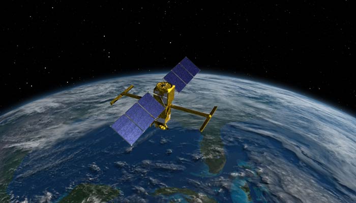
A Benchmark in Satellite Altimetry for Ocean and Climate Applications

For over 30 years, CLS has played a central role in ocean monitoring and climate tracking through its expertise in satellite altimetry. As a trusted partner of major international space agencies (CNES, NASA, ESA, EUMETSAT…), we design, process, validate, and exploit highly precise satellite data.

Our space oceanography and altimetry data processing services feed key global climate indicators – such as sea level rise, wave height, or marine heatwave detection – thus contributing to better understanding ocean dynamics and supporting science-based environmental policies.

Explore More Expertise

From Data to Strategic Operational Insights

Our Digital Platforms for Decision-Making

VIGISAT: Our SAR Station Network