← Back
TOPEX/Poseidon: The Satellite Mission Still Shaping Climate Science

Today, we all know that the ocean affects the climate by moving water and heat around the world. But it wasn’t always clear that the fate of life on Earth is so closely tied to the ocean.
This basic idea that shapes today’s climate science and the important steps to tackle the effects of the climate crisis goes way back to the TOPEX-Poseidon satellite mission. A joint venture between NASA & CNES, CLS’ parent company, the TOPEX/Poseidon satellite mission helped revolutionize oceanography by providing continuous global coverage of the ocean’s sea surface height. Also part of the adventure from the beginning, CLS helped design the processing chains and then received, processed and qualified the altimetry data.
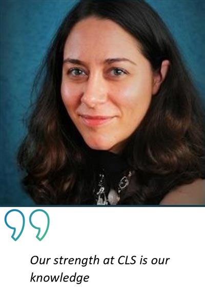
A dedicated team at CLS has been hard at work reprocessing the 13 and half years of TOPEX/POSEIDON data. Why? Hélène Roinard, a research and project engineer at CLS, explains.
Hélène, can you explain what you have been doing exactly?
We have been reprocessing what we call L2 data. L2 data is the data that is corrected for geophysical effects which allows you to calculate sea height for example.
To give an idea of the quantity of data, we’ve been processing data that gives us 20 measurementS every second.
 TOPEX/POSEIDON’s mission ended on January 18th, 2006, why do we need to process such old data?
The TOPEX/POSEIDON mission and its successors: Jason’s 1, 2, 3 and now Sentinel-6 are what we called Historical Reference Missions and are used by experts at CLS, CNES and LEGOS to calculate the Global Mean Sea Level.
The Global Mean Sea Level (GMSL) has been measured with radar altimetry satellites since October 1992. This indicator is a natural integrator of Climate Change with contribution from ocean thermal expansion and ocean mass change from ice melt.
While the instruments on-board the satellites haven’t necessarily changed, our knowledge has. Our knowledge of the ocean, atmospheric conditions and sea state conditions in the past is improving, the models are improving as time goes by, so we need to make adjustments, even to old missions, to improve our assessment of water level, including in the past. Reprocessing past data helps us better understand the changes we’re seeing.
Why is TOPEX/POSEIDON mission so important in your opinion?
At the time, it was a pioneering project, and when you look at the importance of altimetry in terms of environmental studies and climate change, and the extent to which it is used today, it’s remarkable.
We have 11 in-flight missions that are used for altimetry today so, we can see that the scientific community worldwide is making a huge effort in this area, and if the institutions are putting effort into it, it’s because we’ve shown with TOPEX/POSEIDON that it’s useful and necessary.
CLS, world leader in Altimetry
8 satellite missions are planned to be launched within the next 10 years and CLS will remain as highly implicated in future missions as it has been in current and past missions.
At CLS we have experts that are involved in:
- Defining missions and proving it can be done
- Processing measurements
- Defining specifications and developing ground stations as well as running them
- Understanding measurements and detecting anomalies
- Making the data and value-added products available to the scientific community
Related Posts: