← Back
Sentinel 2-B, soon !

Sentinel-2A will be joined by its twin, the Sentinel-2B satellite on the night of March 6-7. These two satellites of optical imagers will ensure a revisit of the same site every 5 days. The Sentinel 2 mission led by the European Space Agency is part of the Earth observation and monitoring program, Copernicus. Formerly known as GMES (Global Monitoring for Environment and Security), the objective of the Copernicus program is to provide Europe with continuous, independent and reliable access to data And information resulting from Earth observation.
How can we monitor the effects of global warming, how best to manage our freshwater resources? Sentinel-2 belongs to a series of several satellites, with different techniques and objectives : Sentinel-1 for radar, Sentinel-2 for optical images and Sentinel-3 for altimetry data.
Sentinel-2 is designed to map all land areas by using high-resolution optical sensors. The observation capability of both satellites will allow for monitoring land areas in just five days. The uses and applications are very diverse: agriculture, forests, lakes and streams, natural disasters, ice monitoring, coastal areas…
Great to see many representatives of the EU #earthobs industry ! @CLS_Group @GAF_Munich @sinergise #SIRS @AirbusDS @EOPages #Sentinel2Go https://t.co/kVT6eBiHRN
— earsc (@earsc) 5 mars 2017
CLS develops and delivers services and applications that use a combination of data, including the Sentinel data. CLS is specialized in applications and services in the following sectors
- Sustainable fisheries management : fight against illegal fishing – Sentinel-1
- Environmental monitoring : climate, calculation of mean sea level – Sentinel-3,
- Hydrology – Sentinel-3 & Sentinel-1,
- Pollution detection – Sentinel-1
- Infrastructure monitoring : soil movement studies with Sentinel-1
MANAGING WATER BY SATELLITES IS A MUST !
According to the IPCC report, scarcity of freshwater resources is expected to be concentrated in the countries of the Southern Hemisphere. As for countries in the Northern Hemisphere, they should experience more regular and more devastating floods.
![]() How best to manage these new conditions? Satellites such as those of the copernicus program used and valued by CLS can provide solutions in terms of water resource management, water stress or extreme weather events.
How best to manage these new conditions? Satellites such as those of the copernicus program used and valued by CLS can provide solutions in terms of water resource management, water stress or extreme weather events.
 The CLS company has the capacity and the will to combine different types of data: spatial, in situ, models. Solutions that should prove to be essential for the overall and fair management of water resources. These solutions will allow for predicting and monitoring of river flows. Controls on the state of resources will then be possible at a regional level. Thanks to these spatial tools, authorities will be able to monitor the intrusion of salt water into estuaries. A key information to fight against the salinization of coastal agricultural land.
L Zawadzki from CLS will talk about inland water observation at the #sentinel2go event ! #socialspace #ocean #data https://t.co/HFVTo57eN9
— CLS Group (@CLS_Group) 4 mars 2017
#sentinel2go
Related Posts:
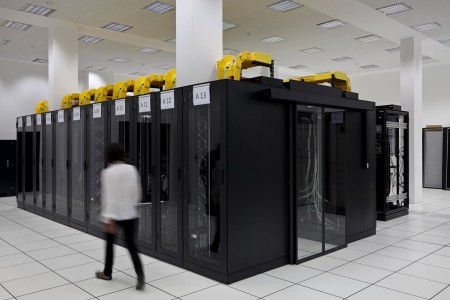
 New step for the Indonesian Maritime Meteorological System (MMS1) delivered by CLS and its partners : High Performance Computing is now operational at BMKG HQ
 CLS, Data Partner for Our Planet Ocean
 CLS’ Water Platform: Digitizing Water Resilience