← Back
CLS, Data Partner for Our Planet Ocean

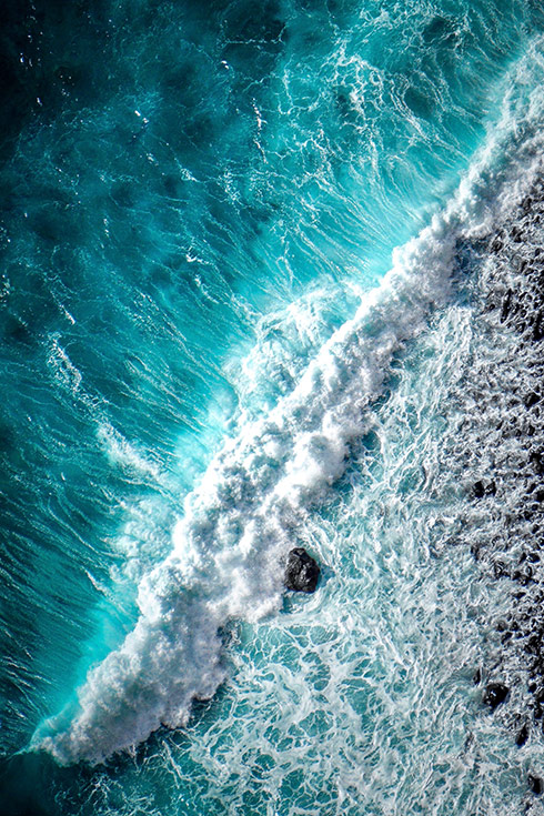
Today it’s the World Ocean Day, a day to remember us that the ocean covers over 70% of our planet. It is our life source, supporting humanity’s sustenance and that of every other organism on earth.
The ocean produces at least 50% of the planet’s oxygen, it is home to most of earth’s biodiversity, and is the main source of protein for more than a billion people around the world. Not to mention, the ocean is key to our economy with an estimated 40 million people being employed by ocean-based industries by 2030.
Even though all its benefits, the ocean is now in need of support.
Fish populations depleted, plastic pollution, oil pollution, we are taking more from the ocean than can be replenished and human are causing damage to our seas & ocean than ever before.
CLS truly committed to make our planet a sustainable one, daily support decision makers, ocean actors and coastal population to create a new balance with the ocean that no longer depletes its bounty but instead restores its vibrancy and brings it new life. Today, we are proposing you to know more how satellite data & digital decision-making tools developed by CLS can help raise a long-life planet.
ENVIRONMENT – You can only protect what you know
CLS, observing, understanding and protecting the world’s oceans
 Studying the oceans and supporting the scientific community in their research efforts is of paramount importance in our collective mission to protect these vast and fragile ecosystems. By understanding the complex dynamics of the oceans, we gain valuable insights into the impacts of human activities. Through scientific research, we can assess the health of marine ecosystems, identify threats, and develop effective conservation strategies. By supporting and contributing to ocean research, we empower scientists to generate knowledge that informs policymaking, promotes sustainable practices, and ultimately safeguards the oceans for future generations. CLS has always been really clothe to the scientific community, this partnership is vital to ensure the long-term well-being of our oceans and to foster a harmonious relationship between humanity and these extraordinary marine environments.
Space-based solution a key for the scientific community
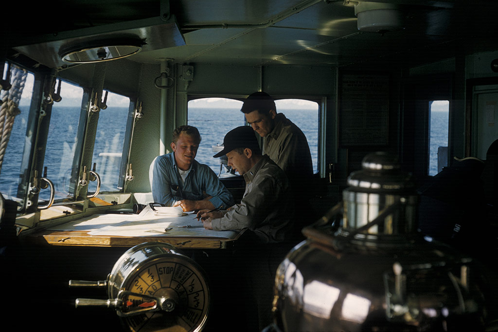
 As exclusive operator of the Argos satellite telemetry system since 1986, and certified Iridium value-added reseller since 2007, CLS is an historical partner of maritime stakeholders (oceanographers, climatologists, marine biologists and fishermen, as well as public authorities in charge of protecting the maritime domain).
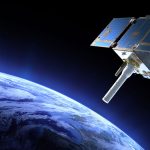
In parallel, CLS has contributed to satellite oceanography programs. The company supports major space agencies in the satellite instrument specification phase for ocean observation missions and operates ground systems. Once the mission is in operation, CLS acquires and processes the collected data and ensures their quality. CLS thus intervenes in the value chain of ocean observation from start to finish.
From the identification of the migratory ocean routes to the definition of Marine Protected Area
 Scientists often say that the ARGOS system and the services delivered by CLS has rewritten the history of animal migrations. At CLS our experts are proud of this amazing discovery.
Identifying migratory routes, feeding grounds, nurseries and breeding grounds is key for the establishment of conservation measures. This information has been used to setting up marine protected areas and preserving these sanctuaries for more than 35 years.
FISHING ACTIVITY – Connecting fishing gear by satellite to limit ghost fishing, plastic pollution and support environmentally-friendly economy
The menace of ghost fishing
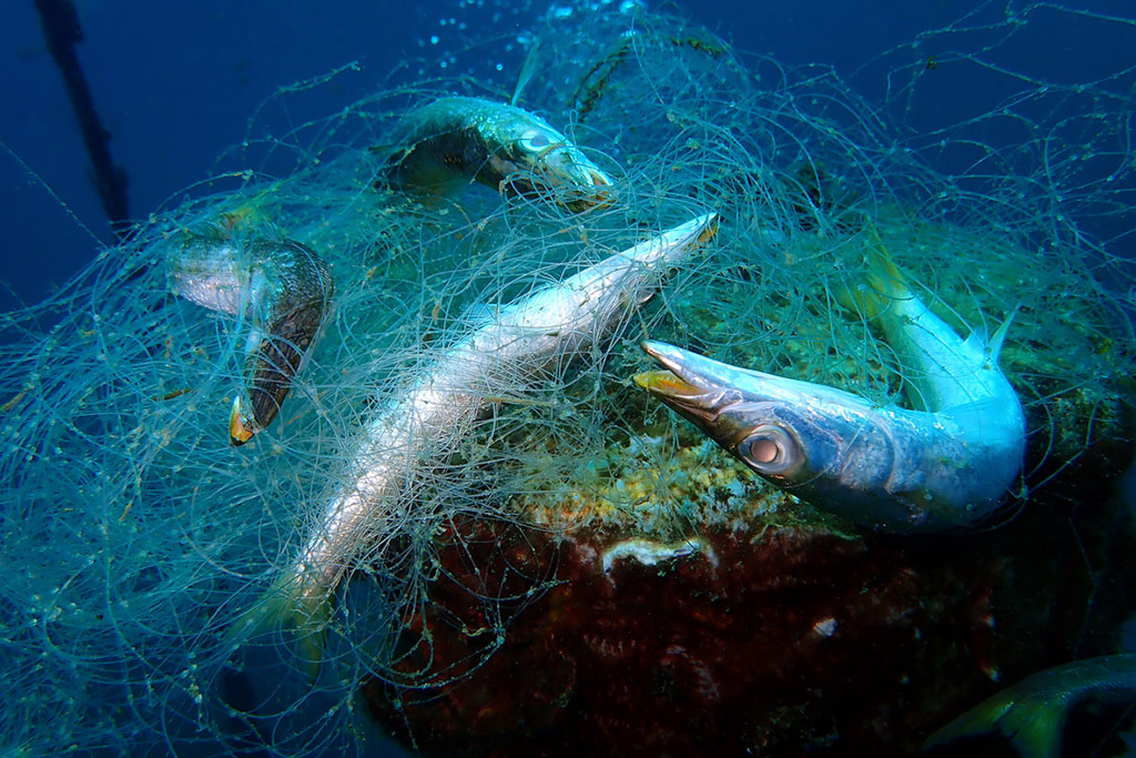 Plastic pollution in the world’s oceans is an alarming environmental crisis that demands immediate attention. Among the many contributors to this problem is ghost fishing, a term used to describe abandoned or lost fishing gear that continues to trap and kill marine life indiscriminately. Lost or discarded fishing gear, such as nets, lines, and traps, can remain active in the ocean for years, continuing to entangle and ensnare marine animals. However, a breakthrough tracking device has emerged as a potential solution to combat this issue. By identifying and tracking ghost fishing gear, this innovative technology aims to prevent further plastic pollution in our fragile marine ecosystems.
NAOS, the CLS solution to prevent oceanic plastic pollution
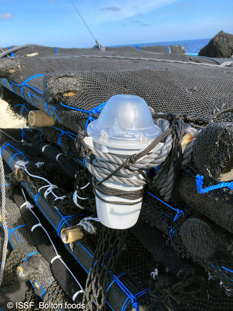 In an effort to address this environmental crisis, scientists and engineers have developed a cutting-edge ghost fishing tracking device. This innovative technology combines satellite tracking and data analytics to locate and monitor lost fishing gear in the ocean.
NAOS is a simple and compact Argos-GNSS satellite buoy designed for the tracking and relocation of fishing gear such as lines, nets, pots, traps and anchored and drifting Fish Aggregation Devices (FADs). It has been developed to support environmental and fisheries resource management, with the hope of initiating recycling practices within circular economies.
Collaborative efforts and impact
NAOS is already a success in different countries, and has been tested and deployed in several oceans : Pacific region, French Guiana, Vanuatu, Australia, Mediterranean Sea…
In Australia, thanks to NAOS, a 2 tons net was successfully tracked and retrieved from near Badu Island by the Australian Fisheries Management Authority (AFMA) in June 2021.
The development of the ghost fishing tracking device represents a significant breakthrough in the fight against plastic pollution in the oceans. By locating and tracking abandoned fishing gear, this innovative technology offers a proactive approach to combat ghost fishing, reduce marine casualties, and preserve fragile marine ecosystems.
MARITIME SECURITY – Seeing sea pollution from space: the power of satellite imagery
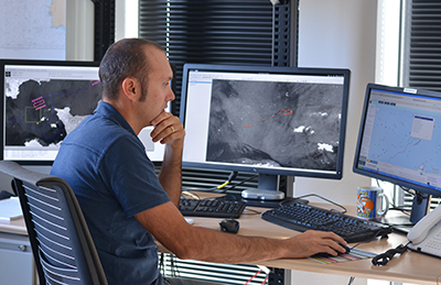
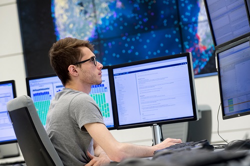
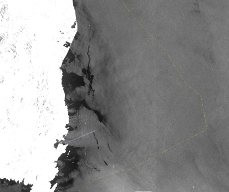 In the event of an oil spill, whether accidental or the result of deliberate degassing, CLS analysts, experts in pollution response, process and study the satellite images received by the CLS’ VIGISAT network of antennas.
CLS can help access and understand mission-relevant information, enabling critical decisions to be made in a timely manner, with an indisputable level of safety and reliability.
The 400 satellites used by CLS, combined with data expertise and artificial intelligence, enables us to provide a complete maritime picture in real time.
CLS is the operator of the European CleanSeaNet service run by EMSA, the European Maritime Safety Agency. This program aims to support European states in the fight against pollution using satellite and UAV data.
In 10 years, the EMSA service operated by CLS for the member states has enabled them to halve oil pollution in European waters.