CORISCLIM: Rapid Assessment of Future Coastal Flood Risks Around the World

Climate change is impacting coastal areas through rising sea levels, amplifying the impact of extreme natural events such as hurricanes and coastal storms.
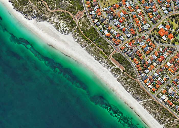
Sea level rise causes shoreline erosion, coastal flooding, water salinization and more, threatening livelihoods, population growth, urbanization, and natural ecosystems. It thus causes significant economic losses and affects built-up areas located behind the coastline.
CORISCLIM makes it possible to consider climate-related coastal risks everywhere and act in advance to mitigate their impacts enabling site selection where to launch additional in-depth studies, to foster local awareness and thus supporting coastal resilience actions.
With CORISCLIM you benefit from a combination of satellite observations at a large scale, climate projections from IPCC and a global modeling solution to:
 Identify exposed areas to future coastal flood from sea level rise with the most accurate information available everywhere in the world.
- Prioritize & decide where to deploy local actions (in-depth risk analysis, engineering expertise, investments, financial support, insurance solutions, urban planning, etc.)
- Communicate and raise awareness to improve collaboration with practitioners and other stakeholders, to support business promotion activities.
Contact us to join the early-adopters group for free.
Join the early-adopter community
By joining the early-adopter community, you’ll be subscribing to the CORISCLIM newsletter and eligible to participate in the demonstration test-phase.
Early-adopter community

The story behind the CORISCLIM solution: a demonstration project
The French (CNES) and European Space Agencies (ESA) have supported CLS to make CORISCLIM become a reality for a range of climate risk management stakeholders:
- Coastal authorities who anticipate future risks to protect coastal communities, lives and property.
- Coastal engineering and consulting offices and companies managing coastal areas and their risks.
- Development banks or private investors financing climate resilience actions.
- Climate insurance companies assess the future impacts on your clients’ assets.
- Environmental associations and Non-Governmental Organizations supporting awareness and actions in favor of climate change.
- And more.
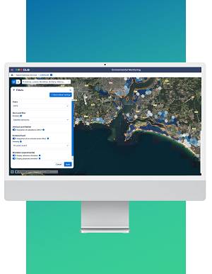
The design & development was conducted from February 2023 to April 2024, which will be followed by a pilot-demonstration of the service till October 2024. The pilot-demonstration service is accessible free of charge upon request, the online platform provides worldwide maps of future coastal hazards until horizon 2100 from the latest advanced research and satellite observations.

Satellite observations for coastal zones
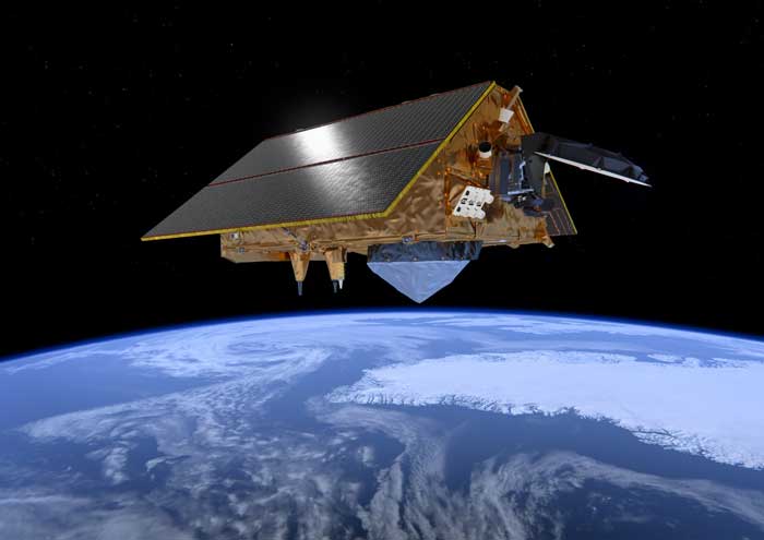
CORISCLIM combines the use of 4 satellite systems that provide a unique opportunity to survey worldwide coasts and oceans:
- Radar altimetry which observes the dynamics of the oceans on a global scale (change in sea level)
- Optical imagery that reports coastal erosion on a global scale
- LIDAR technology which is used for the digital earth elevation model
